

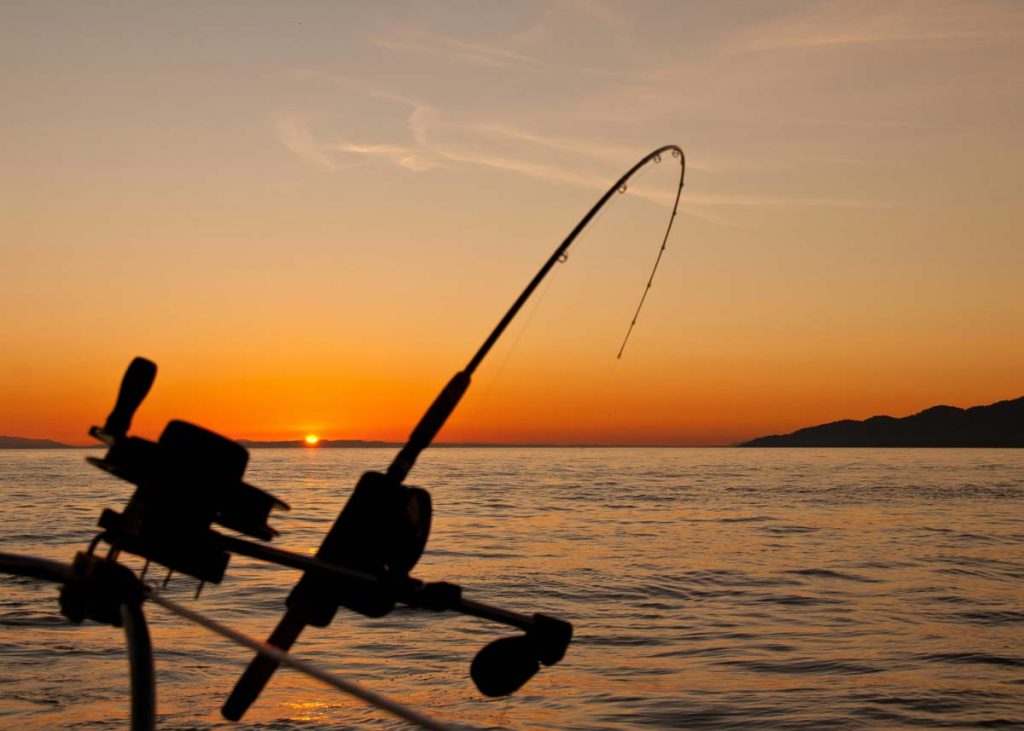
Puget Sound (/ˈpjuːdʒɪt/ PEW-jit; Lushootseed: x̌ʷəlč IPA: [ˈχʷəlt͡ʃ] WHULCH)[1][2] is a complex estuarine[5] system of interconnected marine waterways. The basins located on the northwest coast of the U.S. state of Washington. As a part of the Salish Sea, the sound has one major and two minor connections to the Strait of Juan de Fuca. Which in turn connects to the open Pacific Ocean. The major connection is Admiralty Inlet; the minor connections are Deception Pass and the Swinomish Channel.
Puget Sound Size
Puget Sound extends approximately 100 miles (160 km) from Deception Pass in the north to Olympia in the south. Its average depth is 450 feet (140 m)[6]. Its maximum depth, off Jefferson Point between Indianola and Kingston, is 930 feet (280 m). The main basin, between the southern tip of Whidbey Island and Tacoma, is approximately 600 feet (180 m).[3]
In 2009, the term Salish Sea was established by the United States Board on Geographic Names. The name of the collective waters of Puget Sound. The Strait of Juan de Fuca, and the Strait of Georgia. Sometimes the terms "Puget Sound" and "Puget Sound and adjacent waters" are used for not only Puget Sound proper. Also waters to the north, such as Bellingham Bay and the San Juan Islands region.[7]
Puget Sound Name Origin
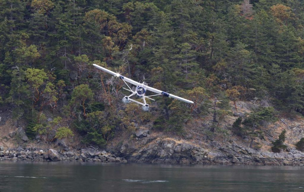
The term "Puget Sound" is used not just for the body of water but also the Puget Sound region centered on the sound. Major cities on the sound include Seattle, Tacoma, Olympia, and Everett. Puget Sound is also the second-largest estuary in the United States, after Chesapeake Bay in Maryland and Virginia.[8]
The USGS defines Puget Sound as all the waters south of three entrances from the Strait of Juan de Fuca. The main entrance at Admiralty Inlet is defined as a line between Point Wilson on the Olympic Peninsula, and Point Partridge on Whidbey Island. The second entrance is at Deception Pass along a line from West Point on Whidbey Island, to Deception Island, then to Rosario Head on Fidalgo Island. The third entrance is at the south end of the Swinomish Channel, which connects Skagit Bay and Padilla Bay.[10] Under this definition, Puget Sound includes the waters of Hood Canal, Admiralty Inlet, Possession Sound, Saratoga Passage, and others. It does not include Bellingham Bay, Padilla Bay, the waters of the San Juan Islands or anything farther north.
Another definition, given by NOAA, subdivides Puget Sound into five basins or regions. Four of these (including South Puget Sound) correspond to areas within the USGS definition, but the fifth, called "Northern Puget Sound" includes a large additional region. It is defined as bounded to the north by the international boundary with Canada, and to the west by a line running north from the mouth of the Sekiu River on the Olympic Peninsula.[11] Under this definition, significant parts of the Strait of Juan de Fuca and the Strait of Georgia are included in Puget Sound, with the international boundary marking an abrupt and hydrologically arbitrary limit.
Puget Sound Boundaries
According to Arthur Kruckeberg, the term "Puget Sound" is sometimes used for waters north of Admiralty Inlet and Deception Pass, especially for areas along the north coast of Washington and the San Juan Islands, essentially equivalent to NOAA's "Northern Puget Sound" subdivision described above. Kruckeberg uses the term "Puget Sound and adjacent waters".[7] Kruckeberg's 1991 text, however, does not reflect the 2009 decision of the United States Board on Geographic Names to use the term Salish Sea to refer to the greater maritime environment.